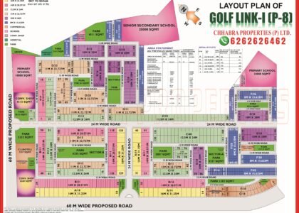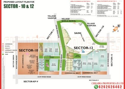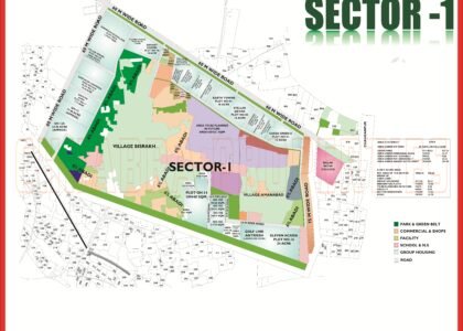
This Zeta 2 And Eta 2 Greater Noida Map guide explains the plots, roads and facilities in detail. Zeta 2 and Eta 2 are two of the newer, still-developing sectors on the Greater Noida map, and they are built to very different plans. Zeta 2 is a compact plotted sector with 361 residential plots, while Eta 2 is planned almost entirely for group housing. Searches for the “Zeta 2 Greater Noida map” usually come from buyers trying to understand which is which.
This guide reads both official layout plans: plot sizes, area statements, group housing plots, commercial belts and roads. The map pages are on our Zeta 2 map page and Eta 2 and Zeta 2 map page.
Zeta 2 and Eta 2 Sector Maps
Two plans are shown below: the Zeta 2 plotted layout and the combined Eta 2 and Zeta 2 group housing plan. Click either image to open the full-size map, or download the PDFs.


Zeta 2 Map Data: 361 Plots in Three Sizes
Zeta 2 is a narrow sector between a 130 m wide road with an M.P. commercial belt on one side and a railway corridor on the other. Its plan shows three blocks (A, B and C) and a short plot table:
| Plot area | Dimensions | Approx. size | Plots |
|---|---|---|---|
| 300 sq m | 12 m × 25 m | 3,229 sq ft | 77 |
| 200 sq m | 10 m × 20 m | 2,153 sq ft | 126 |
| 120 sq m | 8 m × 15 m | 1,292 sq ft | 160 |
The area statement gives a net planned area of about 26.3 ha, of which roughly 6.8 ha is plotted, 7.9 ha roads, 4.5 ha parks and green area, 0.9 ha facilities, and about 5.9 ha is kept as future area. The plan states a density of about 137 persons per hectare, which is low — a good sign for open, uncrowded streets.
Eta 2 Map Data: A Group Housing Sector
The combined Eta 2 and Zeta 2 plan covers 148 ha in total. After deducting the M.P. commercial belt (about 19 ha), the green belt (3.75 ha), the H.T. line corridor and peripheral roads (about 28 ha each), the net scheme area is about 93.3 ha, split like this:
| Land use | Area | Share |
|---|---|---|
| Group housing | 79.88 ha | 85.6% |
| Facilities | 5.74 ha | 6.1% |
| Parks | 4.19 ha | 4.5% |
| Roads | 3.53 ha | 3.8% |
Saleable area is about 85.6 ha, and the plan is designed for roughly 41,900 residents at 450 persons per hectare. The largest group housing plot is GH-1 at about 30 ha, and there is another 14 ha plot (GH-1A) plus a 10 ha plot earmarked for future group housing. The plan also reserves land for 5 nursery schools, 3 senior secondary schools, 5 nursing homes, 3 dispensaries and 8 convenience shopping sites, which tells you how many facilities to expect once the sector fills up.
Roads, Commercial Belts and Boundaries
- 130 m wide road and a 100 m wide M.P. commercial belt run along the southern part of Eta 2, a strong long-term commercial corridor.
- 60 m wide roads frame the sector on the north and east.
- Commercial belt strips also sit along the 130 m road on the Eta 1 side.
- Zeta 2 has a railway corridor and a 24 m green belt on its eastern edge.
To see how Eta 2 connects to the neighbouring sectors, read the Eta 1 map guide and the Zeta 1 map guide.
What to Check Before You Buy in Zeta 2 or Eta 2
- For Zeta 2 plots, confirm block (A, B or C), plot size and whether it is a future-area plot.
- For Eta 2 group housing, check the plot number (GH-1, GH-1A, GH-3, GH-4 or GH-5), approved area and the builder’s RERA registration.
- Note that some group-housing areas on the plan show an “old area” and a revised area — use the latest approved figure.
- Check distance to the railway line, H.T. line and commercial belt.
- Ask for the dues certificate and possession status.
Zeta 2 and Eta 2 on Google Maps
The pin below marks Zeta 2 on Google Maps so you can check the distance to the Depot and GNIDA Office metro stations.
Explore Related Greater Noida Maps
- Zeta 2 map
- Eta 2 and Zeta 2 map
- Zeta 1 map
- Eta 1 map
- Zeta 1 Greater Noida map guide
- Greater Noida Master Plan 2041 map
Frequently Asked Questions
How many plots are there in Zeta 2 Greater Noida?
The Zeta 2 layout plan lists 361 residential plots in three sizes: 120, 200 and 300 sq m.
Is Eta 2 a plotted sector?
No. The Eta 2 and Zeta 2 scheme plan is mostly group housing, about 80 ha of the 93 ha net scheme area.
Where can I download the Zeta 2 and Eta 2 maps?
Use the PDF buttons in this guide or the Zeta 2 map page.
What roads surround Eta 2?
The plan shows 60 m wide roads on the north and east, a 130 m wide road and a 100 m wide M.P. commercial belt on the south side.
What is the PIN code of Zeta 2?
Zeta 2 falls under PIN code 201310.
Use this Zeta 2 And Eta 2 Greater Noida Map together with the official layout plan, and verify plot numbers and road widths with the Greater Noida Authority before you decide. The Zeta 2 And Eta 2 Greater Noida Map above is a reference guide for planning your visit.
Anyone comparing plots should read the Zeta 2 And Eta 2 Greater Noida Map alongside the nearby sector plans. Each Zeta 2 And Eta 2 Greater Noida Map page on this site lists plot sizes, road widths and facility sites, so you can shortlist the right plot with confidence.
Need the Latest Zeta 2 or Eta 2 Map?
Chhabra Properties helps buyers, sellers and investors with plots, flats and group housing across Greater Noida from its office in the Alpha 1 Commercial Belt. Ask us for the latest layout, availability and current rates.
Office: 204, S L Tower, Alpha-I Commercial Belt, Greater Noida, Uttar Pradesh 201310