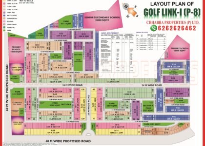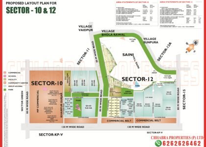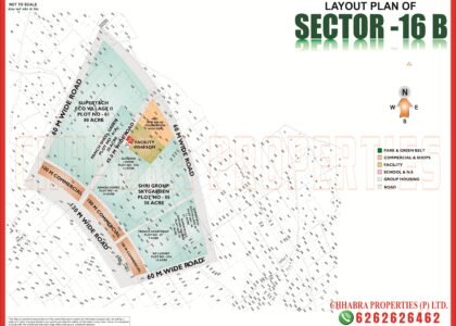
The Sector 1 2 3 4 Greater Noida Map below covers plot sizes, group housing sites, villages, roads and commercial belts from the official layout plans. The numbered sectors 1, 2, 3 and 4 form a cluster on the Greater Noida (West) side. They are not like the Alpha, Beta or Gamma sectors: Sectors 2 and 3 are plotted sectors with a few group housing sites, while Sectors 1 and 4 are mostly group housing next to old villages.
This guide reads all four official layout plans so you can see which sector offers plots, which offers flats, and what surrounds each one. The map pages are on our Sector 1, Sector 2, Sector 3 and Sector 4 map pages.
Sector 1 2 3 4 Greater Noida Map: Sector Overview
The four layout plans are shown below. Click any image to open the full-size map, or download the PDFs.


Sector 1 Map Data: Group Housing Around Two Villages
Sector 1 is marked as a proposed layout. It is built around the villages of Bisrakh and Amanabad, with 6% abadi areas shown on several edges, and it holds large group housing plots including Earth Towne (about 18 acre), Stellar Jeevan (about 18 acre), Casa Green II (about 15 acre) and Eleven Acasia. A 75 m wide road runs along the east, 60 m wide roads along the north-east and north-west, and an area of about 20 ha is marked “to be planned in future”. A school (Balak Inter College) and facility sites are shown near the eastern boundary.
Sector 2 Map Data: Two Plot Sizes and Large Abadi Areas
Sector 2 combines plotted blocks with big areas reserved for the villages:
- Plot sizes: 162 sq m (9 m × 18 m) and about 220 sq m (11 m × 20 m), colour-coded across blocks A to F.
- Group housing: Eros Sampoornam (plots 1 and 2, about 22 acre) in the north-east and Nirala Green Shire (plot 3, about 2.8 ha) in the south.
- Abadi: a very large central area is marked for abadi expansion, plus an informal area of about 7.4 ha.
- Roads: 60 m wide roads on the north, west and south; a 130 m wide road with a 100 m wide green belt on the east.
Sector 3 Map Data: Plots Beside 75 m Commercial Belts
| Plot area | Dimensions | Approx. size | Where on the plan |
|---|---|---|---|
| 200 sq m | 10 m × 20 m (blue) | 2,153 sq ft | Blocks C and D in the west |
| 120 sq m | 8 m × 15 m (yellow) | 1,292 sq ft | Blocks A and B in the east |
- 75 m wide commercial belts run along the northern edge of the south side and diagonally along the south-west, a long-term commercial corridor.
- 80 m wide roads on the north and south, a 60 m road on the west and a 130 m road on the east.
- Neighbours: Sector 1 on the west, Sector 2 on the north and KP-V on the south.
- Informal areas of about 4.1 ha and 1.8 ha, and about 5.3 ha marked for future planning.
Sector 4 Map Data: Large Group Housing Plots Near Haibatpur
Sector 4 is also a proposed layout, with four very large group housing plots around the village abadi of Haibatpur (about 49 ha):
| Plot | Name on plan | Area |
|---|---|---|
| Plot 01 | Gaur City 1 (Savior) | 129 acre |
| Plot 04 | AIMS Golf Town | 105 acre |
| Plot 02 | Amrapali Golf Homes | 64 acre |
| Plot 03 | Amrapali Smart City | 45 acre |
A 130 m wide road with a 100 m wide green belt runs along the south, with about 6.6 ha of master-plan commercial land beside it. The plan also shows 60 m and 45 m wide roads, a 30 m master-plan green belt on the west and a school site near the village. Note that other plans in this belt label a different “Sector 4” as an industrial sector, so always confirm which Sector 4 a seller means.
What to Check Before Buying: Sector 1 2 3 4 Greater Noida Map Checklist
- Confirm whether the layout you are looking at is final or marked “proposed”.
- For plots (Sectors 2 and 3), verify the block, size and plot number against the layout.
- For group housing (Sectors 1 and 4), match the project to its plot number and check RERA registration.
- Note the distance to villages, abadi expansion areas and drains.
- Ask for the lease deed, dues certificate and the latest layout approval.
Sector 1 2 3 4 Greater Noida Map on Google Maps
The pin below marks Sector 1 on Google Maps so you can check distances to the main roads and nearby sectors.
Explore Related Greater Noida Maps
- Sector 1 map
- Sector 2 map
- Sector 3 map
- Sector 4 map
- Sector 16B and 16C map guide
- Greater Noida Sector Map 2026 guide
Frequently Asked Questions
Which of Sectors 1 to 4 have residential plots?
Sectors 2 and 3 have plotted blocks; Sectors 1 and 4 are mainly group housing plots.
What plot sizes are available in Sector 3?
Sector 3 has 120 sq m (8 m x 15 m) and 200 sq m (10 m x 20 m) plots.
What plot sizes are available in Sector 2?
Sector 2 shows 162 sq m (9 m x 18 m) and about 220 sq m (11 m x 20 m) plots.
Which villages are near Sector 1 and Sector 4?
Sector 1 is built around villages Bisrakh and Amanabad, and Sector 4 around Haibatpur.
Where can I download the Sector 1 to 4 maps?
Use the PDF buttons above or visit our Sector 1 map page.
Need the Latest Sector 1 2 3 4 Greater Noida Map?
Chhabra Properties helps buyers, sellers and investors with plots, flats and group housing across Greater Noida from its office in the Alpha 1 Commercial Belt. Ask us for the latest layouts, availability and current rates.
Office: 204, S L Tower, Alpha-I Commercial Belt, Greater Noida, Uttar Pradesh 201310