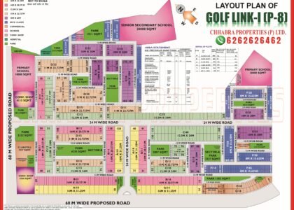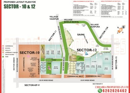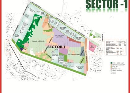
The Sector 16B and 16C Greater Noida Map below covers group housing plots, project names, roads and commercial belts from the official layout plans. Sector 16B and Sector 16C are group-housing sectors on the Greater Noida (West) side, packed with large apartment projects. Instead of individual plots, the official layouts show numbered group housing plots with their acreage, which is exactly what flat buyers need to cross-check a builder’s claim.
This guide reads both plans: which plot is how large, what roads and commercial belts surround them, and what to verify before booking. The map pages are on our Sector 16B and Sector 16C map pages.
Sector 16B and 16C Greater Noida Map: Sector Overview
Both layout plans are shown below. Click either image to open the full-size map, or download the PDFs.


Sector 16B Map Data: Group Housing Plots
The Sector 16B plan labels each group housing plot with its number, acreage and the allottee shown at the time the plan was prepared:
| Plot | Name on plan | Area |
|---|---|---|
| Plot 01 | Supertech Eco Village II | 80 acre |
| Plot 05 | Shri Group Skygarden | 50 acre |
| Plot 07A | RG Luxury | 18 acre |
| Plot 02 | Ajnara Homes | 14 acre |
| Plot 03A | Gulshan 1 Homz | 11 acre |
| Plot 07 | French Apartment | 7 acre |
The plan also marks Panch Sheel Greens and further Supertech plots, a facility site of about 4.9 ha and a Shri Balaji Foundation site of about 4.7 ha near the centre. Boundaries and roads:
- 130 m wide road on the south-west with four 100 m wide commercial pockets along it.
- 60 m wide roads on the north-west, east and south.
- 45 m wide road cutting through the centre of the sector.
Sector 16C Map Data: Gaur City 2 and Neighbouring Plots
| Plot | Name on plan | Area |
|---|---|---|
| Plot 3 | Gaur City 2 | 94 acre |
| Plot 4 | Mahagun Mywood & Myra | 60.18 acre |
| Plot 1 | Palmolampia | 25 acre |
| Plot 1A | Exotica Dreamville | 10 acre |
| Plot 3B | Aarcity Regency Park | 5.5 acre |
| Plots 1C, 1D, 3A | JNC The Park, JKG Palm Court, Bulland Elevents | 5 acre each |
Plot 1B (Radicon Vedantam) is also marked. According to the area statement, the net sector area is about 99 ha, and about 90% of it is under group housing plots, with roughly 6.4% for roads, 1% for parks and 1.7% for green belt. The plan also reserves about 3.6 ha of existing abadi and a further 10.5 ha for abadi expansion around Khurd village, and shows 60 m, 45 m and 24 m wide roads.
What to Check Before Booking: Sector 16B and 16C Greater Noida Map Checklist
- Match the project to its plot number and acreage on the Authority layout.
- Check UP RERA registration, the sanctioned map and construction progress on site.
- Look at what surrounds the plot: the village abadi, 45 m road, 130 m road and commercial belts.
- Names on a layout reflect allotments at the time of printing, so confirm the current promoter.
- Ask about possession dates, dues and the Authority’s completion status.
For a broader view of group-housing sectors, read our Mu map guide.
Sector 16B and 16C Greater Noida Map on Google Maps
The pin below marks Sector 16B on Google Maps so you can check distances to the main roads, schools and markets.
Explore Related Greater Noida Maps
- Sector 16B map
- Sector 16C map
- Sector 16 map
- Sector 10 and 12 map
- Mu Greater Noida map guide
- Greater Noida Sector Map 2026 guide
Frequently Asked Questions
Which projects are marked in Sector 16C?
The plan marks Gaur City 2 (94 acre), Mahagun Mywood & Myra (60.18 acre), Palmolampia (25 acre), Exotica Dreamville and several 5-acre plots.
How big is Supertech Eco Village II in Sector 16B?
The Sector 16B plan shows Plot 01, Supertech Eco Village II, at 80 acres.
What roads surround Sector 16B?
A 130 m wide road with 100 m commercial pockets on the south-west, 60 m wide roads on other sides and a 45 m wide road through the centre.
Are there residential plots in Sector 16B or 16C?
No. Both sectors are laid out as group housing plots for apartment projects.
Where can I download the maps?
Use the PDF buttons above or visit our Sector 16B and Sector 16C map pages.
Need Help Verifying a Project on the Sector 16B and 16C Greater Noida Map?
Chhabra Properties helps buyers, sellers and investors with plots, flats and group housing across Greater Noida from its office in the Alpha 1 Commercial Belt. Ask us to cross-check a project against the Authority layout before you book.
Office: 204, S L Tower, Alpha-I Commercial Belt, Greater Noida, Uttar Pradesh 201310