
Noida Map – Sector & 5% Abadi Plot Maps
Browse the complete Noida map library by Chhabra Properties: 86 Noida Authority layout plans covering 65 sector maps from Sector 44 to Sector 164 including Noida Phase II, and 21 village 5% abadi plot maps. Search a sector, open the map you need and download it as PDF, or call us for plot availability.
86 maps
No map found. Try “Sector 62”, “Sector 150” or “Abadi”, or call +91 62000 63000 and we will share it.
Noida Sector Maps
Noida sector maps cover Sector 44 to Sector 164 and Noida Phase II, grouped by area so you can open the exact layout plan of a sector in one tap.
Sector 44 – 62 Maps 16
 Sector 44 Part (Revised)Sector Map
- Sector 45Sector Map
- Sector 46Sector Map
- Sector 47Sector Map
- Sector 48Sector Map
- Sector 49Sector Map
- Sector 50Sector Map
- Sector 51 Part IISector Map
- Sector 52Sector Map
- Sector 53Sector Map
- Sector 55Sector Map
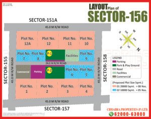
- Sector 56Sector Map
- Sector 57 & 58Sector Map
- Sector 59 & 60Sector Map
- Sector 61Sector Map
- Sector 62Sector Map


Sector 63 – 79 Maps 11


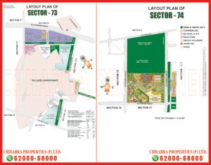


Sector 80 – 99 & Phase II Maps 13
- Sector 80 & 81Sector Map
- Sector 80 & 81 (Map 2)Sector Map
- Noida Phase IISector Map
- Sector 82 & 83Sector Map
- Sector 84 & 85Sector Map
- Sector 87 & 88Sector Map
- Sector 89 & 90Sector Map
- Sector 91Sector Map
- Sector 92 & 93Sector Map
- Sector 93 & 93ASector Map
- Sector 93BSector Map
- Sector 94, 96, 97, 98 & 124Sector Map
- Sector 99Sector Map


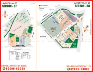


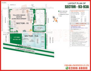


Sector 100 – 137 Maps 10


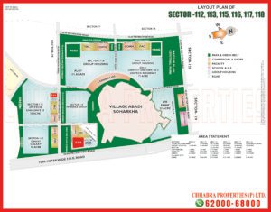

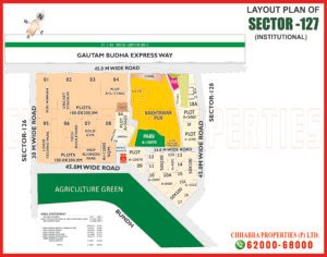
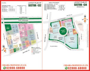


Sector 145 – 164 Maps 15
- Sector 145Sector Map
- Sector 150Sector Map
- Sector 150 (New)Sector Map
- Sector 151 (Latest)Sector Map
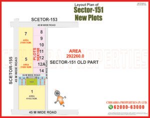
- Sector 151 New PlotsSector Map
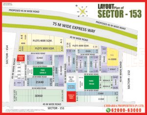
- Sector 153Sector Map
- Sector 153 (Map 2)Sector Map
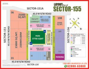
- Sector 155Sector Map
- Sector 155 (Map 2)Sector Map
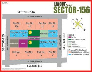
- Sector 156Sector Map
- Sector 156 (Map 2)Sector Map
- Sector 158Sector Map
- Sector 159Sector Map
- Sector 162Sector Map
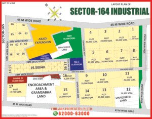
- Sector 164Sector Map
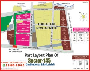

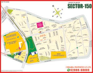





5% Abadi Plot Maps in Noida
5% abadi maps show the village abadi plots that the Noida Authority has planned for farmers whose land was acquired, in villages such as Sadarpur, Wazidpur, Parthla, Geza and Sultanpur.
5% Abadi Plots Maps 21
- Sector 45 – Barola & Sadarpur5% Abadi
- Sector 45 – Sadarpur5% Abadi
- Sector 63A5% Abadi
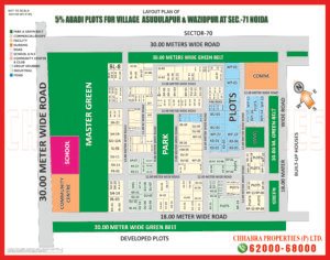
- Sector 71 – Asudulapur & Wazidpur5% Abadi
- Sector 71 – Basai, Kondali & Rohilapur5% Abadi
- Sector 805% Abadi
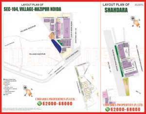
- Sector 104 – Hazipur & Shahdara5% Abadi
- Sector 1165% Abadi
- Sector 117 – Geza5% Abadi
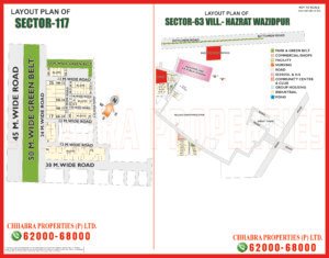
- Sector 117 & Sector 63 – Hazrat Wazidpur5% Abadi
- Sector 121 – Badoli & Parthla5% Abadi
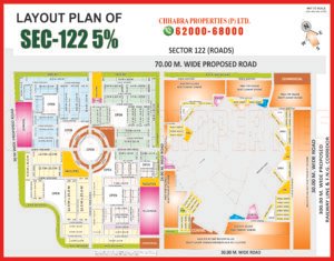
- Sector 1225% Abadi
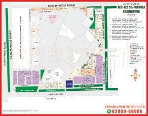
- Sector 122 – Parthla Khanjarpur5% Abadi
- Sector 122 (Map 2)5% Abadi
- Village Sultanpur5% Abadi
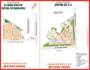
- Sector 132 (Rohilapur) & Sector 665% Abadi
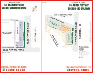
- Sector 135 – Gulawli & Wazidpur5% Abadi
- Sector 135 – Wazidpur5% Abadi
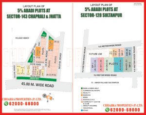
- Sector 143 (Chaprali & Jhatta) & Sector 128 (Sultanpur)5% Abadi
- Sector 1445% Abadi
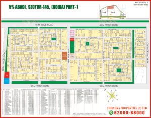
- Sector 145 Part 15% Abadi











Noida Map: How to Read Sector and 5% Abadi Layouts
A Noida map is the layout plan of a sector or village abadi area planned by the New Okhla Industrial Development Authority (Noida Authority). It shows individual plot numbers, plot sizes, road widths, parks, green belts and corner plots, so you can judge the exact location of a plot before you visit the site or make an offer.
Every map on this page is grouped the way buyers search for it: by sector and by 5% abadi village area. Use the tabs to switch between sector maps and 5% abadi maps, or type a sector number or village name in the search box to jump straight to the layout.
Noida sector maps
Sector layouts start in central Noida with Sector 44 to 53, close to the Noida–Greater Noida Expressway and the Botanical Garden metro area. The Sector 55 to 72 belt sits around the Sector 62 IT and institutional hub and NH-9, Sector 73 to 100 includes Noida Phase II and the Aqua Line metro sectors, Sector 104 to 137 runs along the Noida–Greater Noida Expressway, and Sector 145 to 164 covers the newer green sectors towards Greater Noida. Some maps cover more than one sector on a single sheet, such as Sector 57 & 58 or Sector 94, 96, 97, 98 & 124.
5% abadi plot maps
The 5% abadi maps show the plots planned for farmers of villages such as Sadarpur, Barola, Asudulapur, Wazidpur, Basai, Kondali, Rohilapur, Hazipur, Shahdara, Hazrat Wazidpur, Geza, Badoli, Parthla, Parthla Khanjarpur, Gulawli, Chaprali, Jhatta and Sultanpur. These plots are linked to land acquired for the planned growth of Noida. Always confirm the allotment, lease and transfer status of a 5% abadi plot with the Noida Authority records before you buy.
Download Noida maps as PDF
Open any sector or abadi map to view it full screen, zoom in to a plot number, and download the map as a PDF or JPG to share with your family or partners.
Tips before you buy a plot in Noida
Match the plot number on the map with the authority records, check the road width and whether the plot is a corner or park-facing plot, confirm the lease deed, transfer memorandum and pending dues, and ask for the latest map because layouts are revised from time to time. These maps are shared for reference, so verify the final details with the Noida Authority before you pay any booking amount.
Get help from Chhabra Properties
Chhabra Properties is a property dealer in Noida, Greater Noida and along the Yamuna Expressway for residential plots, independent houses, land, industrial and commercial properties. Call or WhatsApp our team on +91 62000 63000 and we will share the latest map and current plot availability. You can also explore our Greater Noida sector maps, the Yamuna Expressway maps or visit the Chhabra Properties home page.
Noida Map – Frequently Asked Questions
What is a Noida map?
A Noida map is the layout plan of a sector or village abadi area planned by the Noida Authority. It shows plot positions, road widths, parks, green belts and corner plots.
How many Noida maps are listed here?
86 maps: 65 sector maps (including Noida Phase II) and 21 5% abadi plot maps.
Which Noida sectors are covered?
Sector 44 to 62, Sector 63 to 78, Sector 80 to 99 with Noida Phase II, Sector 100 to 137 along the Noida–Greater Noida Expressway, and Sector 145 to 164.
What is a 5% abadi plot in Noida?
A 5% abadi plot is a developed residential plot that the Noida Authority allots to farmers whose land was acquired, broadly in proportion to about 5% of the acquired land. These plots are leasehold and a resale needs authority transfer permission.
Which villages have 5% abadi maps?
5% abadi maps cover villages such as Sadarpur, Barola, Asudulapur, Wazidpur, Basai, Kondali, Rohilapur, Hazipur, Shahdara, Hazrat Wazidpur, Geza, Badoli, Parthla, Parthla Khanjarpur, Gulawli, Chaprali, Jhatta and Sultanpur.
Can I download the Noida maps as PDF?
Yes. Open any map and use the Download PDF or Download JPG button. You can also tap the map to zoom in full screen.
Which number should I call for a Noida map or plot?
For all Noida sector maps, 5% abadi maps and plot enquiries, call or WhatsApp +91 62000 63000.
Where is the Chhabra Properties office?
204, S L Tower, Alpha-I Commercial Belt, Greater Noida, Uttar Pradesh.
Related: Greater Noida sector maps · Yamuna Expressway maps · Chhabra Properties · Noida Authority official website
info@cpgroup.in